

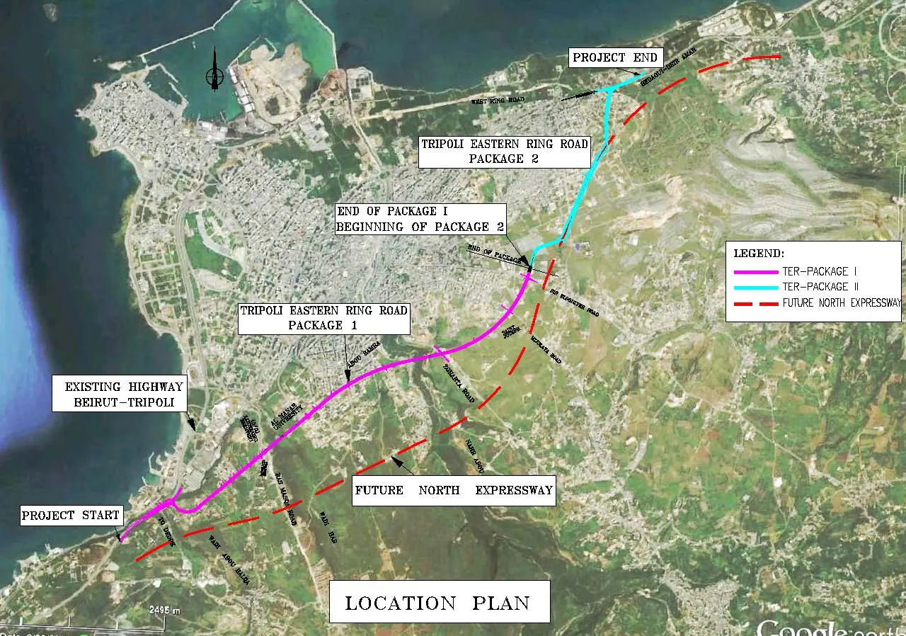
The road starts in Ras Masqa area at Wadi Abou Halqa where it branches out from the existing Beirut-Tripoli expressway then turns north-east taking a parallel routing to the proposed North Expressway and ends at Beddaoui area at the Refinary entrance.
The proposed Easter Ring Road of Tripoli is approximately 9.5 km. It is a south north corridor located on the east side of Tripoli within a 32m right of way that was reserved through a land subdivision project. This road spans Abou Halqa valley, Hab valley and Abou Ali River with high bridges and it intersects with 5 east - west corridors
The section is mainly 2x2 with service roads 2 lanes on both sides. The Project is about 9 km long; approximately, it includes roads, drainage, utilities relocation, electrical, telephone network, landscaping and structural works, and is divided in two packages:
- Package I (about 6.9 km). It begins in Ras Masqa at Wadi Abou Halqa and ends at existing Sir Road. It includes 15 structures (underpass / bridge).
- Package II (about 2.5km). It begins at Sir Road and ends in Beddaoui where it connects with Beddaoui-Deir Ammar existing road. It includes 5 structures (underpass / bridge).